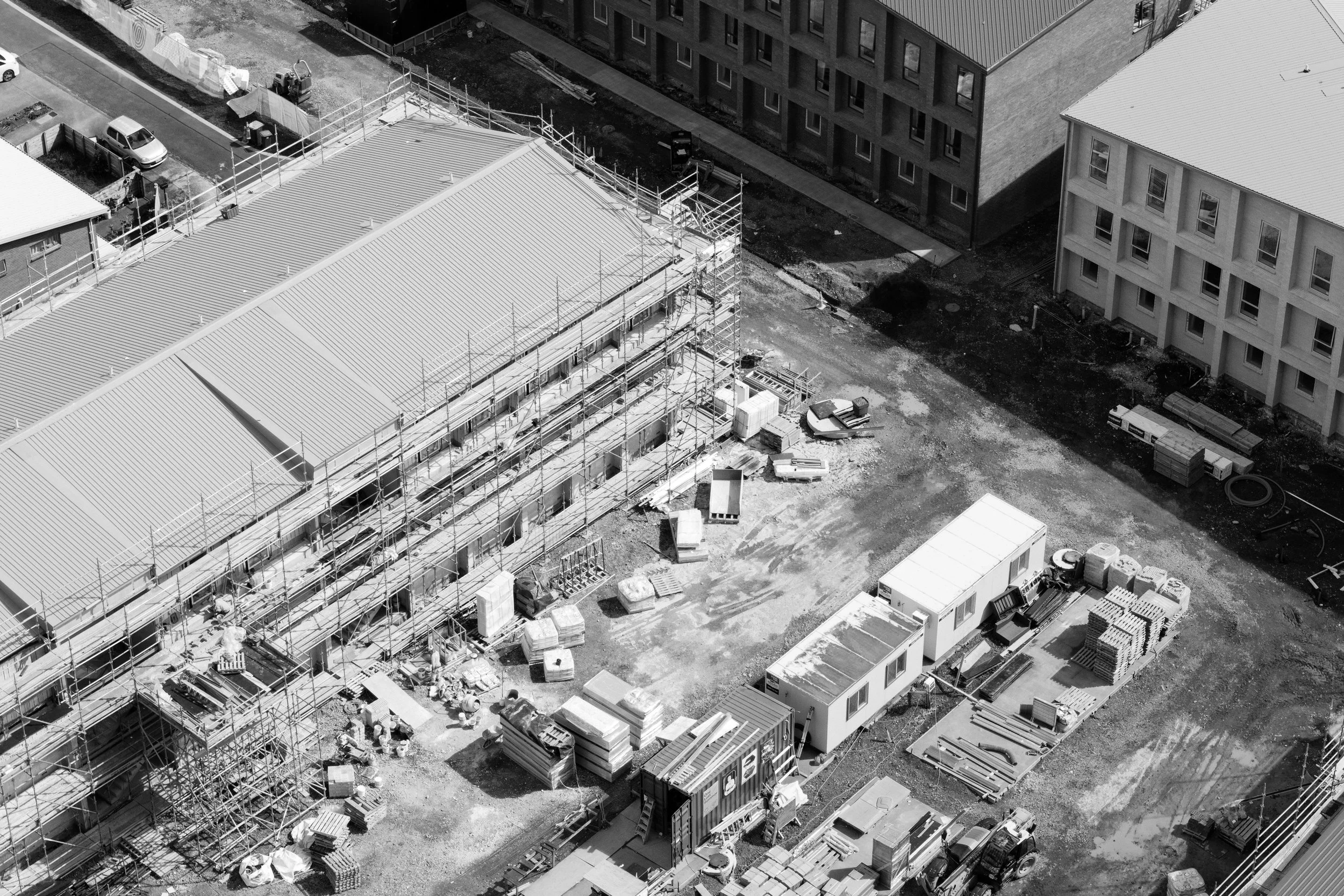
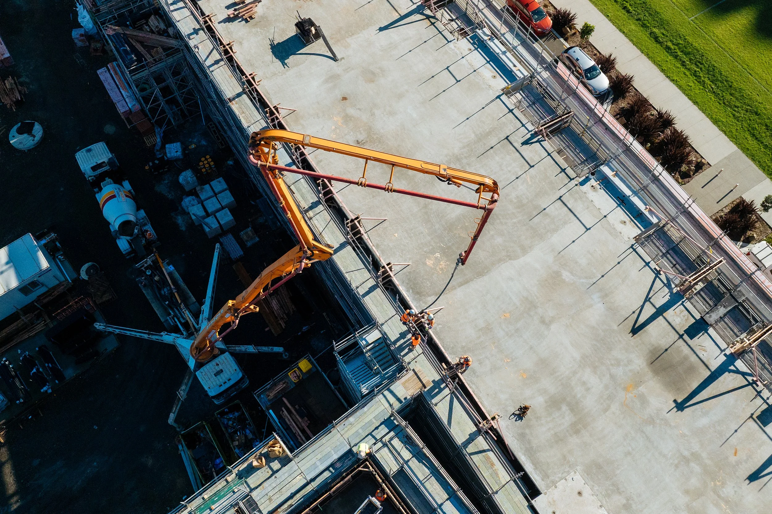
The most expensive problems in construction are the ones nobody saw coming.
By the time a mistake becomes visible, it's often already been built over. A footing poured 200mm off plan. A service run in the wrong place. Earthworks that don't match the design surface. These aren't just inconvenient — they're costly, time-consuming to prove, and hard to dispute without documentation.
Clarkland gives you the eyes to catch these things early. A georeferenced aerial map of your site — updated on your schedule and exportable at any time — means you can compare what's there against what was planned, track progress against programme, and have a defensible visual record if anything is ever questioned down the track.
For insurance purposes, subcontractor sign-off, variation claims, or simply peace of mind — it's the kind of documentation that used to require a full survey team on the ground. Now it takes one flight.